Yosemite
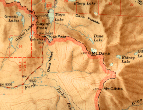
This is a Geosurvey map of the Tioga region of East Yosemite National
Park. The Tioga Pass gate is 9945 feet altitude. Gaylor Peak (11,004 feet)
is at the point under the capital G in it's name. I hiked to this summit
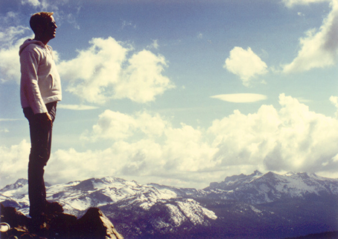
and took the following 2 pictures. The first image is taken in the direction
southeast. The mountains in the distance are, on the left, Mount Dana 13,053
feet and, to the right, Mount Gibbs 12,764 feet. In the next image, is seen
the ancient galicial formation known as Granite Lakes.
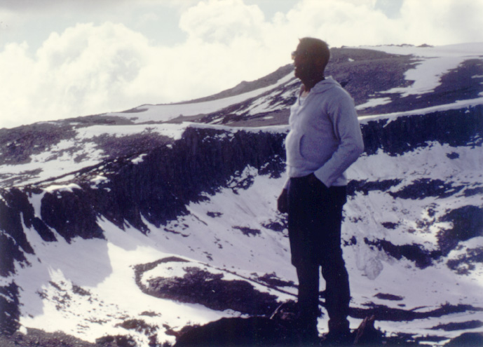
Here I am standing on Gaylor Peak with Mount Dana 13,053 feet and Mount
Gibbs12,764 feet in the distance toward the southwest.
From the top of Gaylor Peak, toward the Northwest, this is the ridge
above Granite Lakes. The Mountain over my right shoulder is 12,002 feet,
another thousand feet higher than where I am standing. The 'Great Sierra
Mine' is directly behind me. Obviously a glacier carved this formation.
While standing here one's right foot is in Yosemite National Park and Tuolumne
County (pronounced two olomy) with one's left foot in the Inyo National
Forest and Mono County. Observe the small avalanch behind me.
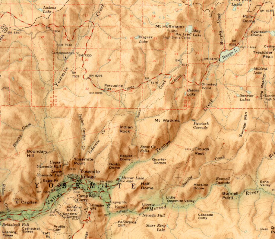
The map below shows the region of the park east of Yosemite Valley.
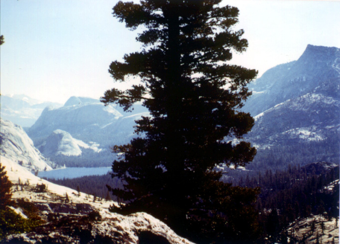
The image below the map is taken just south the Hidden Lake at the top of
the Tenaya Cayon. You can see Half Dome in the distance.
View looking Souteast from the north shore of Tenaya Lake.
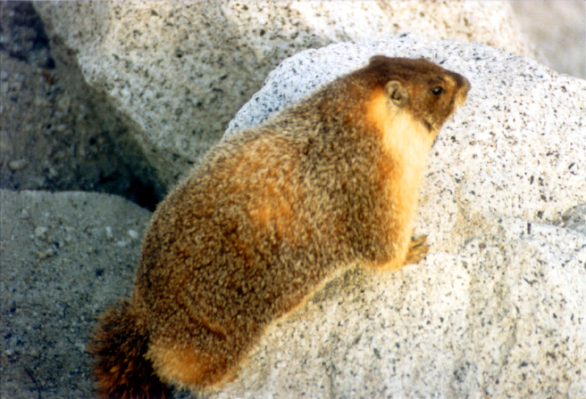
Woodchuck at Olmsted Point. He would eat right out of your hand.
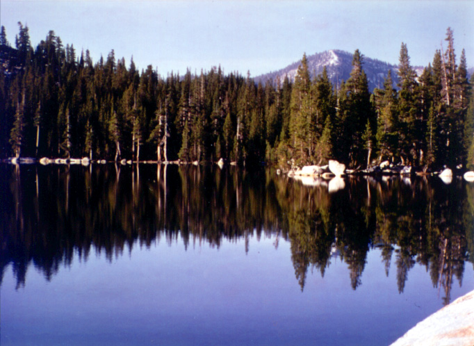
View of Mt Hoffmann from the south shore of Hidden Lake near Olmsted
Point.
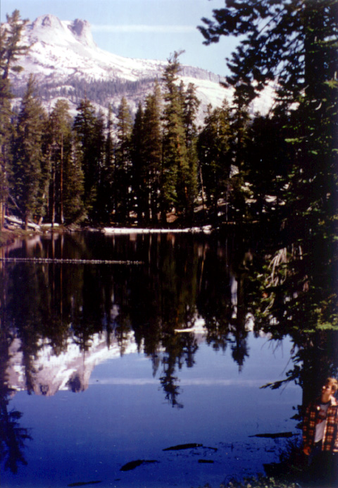
View of Tenaya Lake from near Olmsted Point
Taking it easy after hiking through the forest from
Olmsted Point to the edge of Tenaya Canyon.
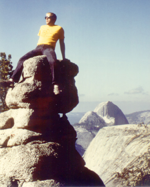
The view from the left side of the rock I am sitting on in the above
picture.
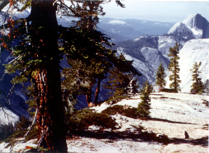
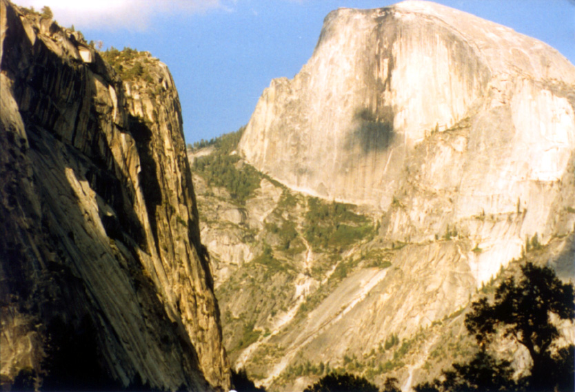
Half Dome in all its majesty.
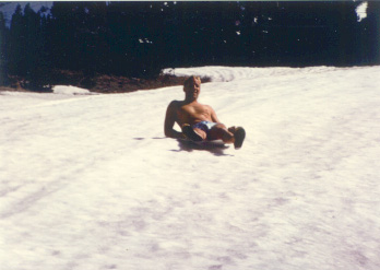
Jay sliding down Mammoth Mountain Ski run.
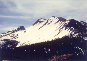
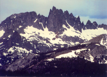
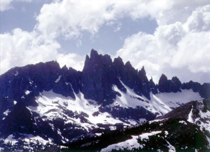
Mammoth Mountain
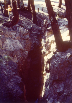
Major earthquake fault in the side of Mammoth Mountain, That is me in
the upper left.
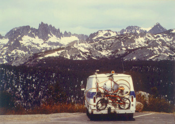
Jay Camping North of Mammoth Mountain overlooking Devil's Postpile National
Monument.
Devil's Postpile
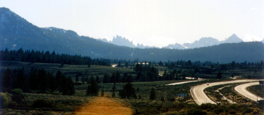
View from below, South and East of Mammoth Lakes. The high ridge in
the foreground is the rim of a giant caldera. Devil's Postpile and Mammoth
Mountain are in the background.
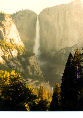
Yosemite Falls at sunrise.
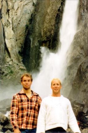
Jim and Jay standing in front of Lower Yosemite Falls.
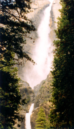
Upper and Lower Yosemite Falls.
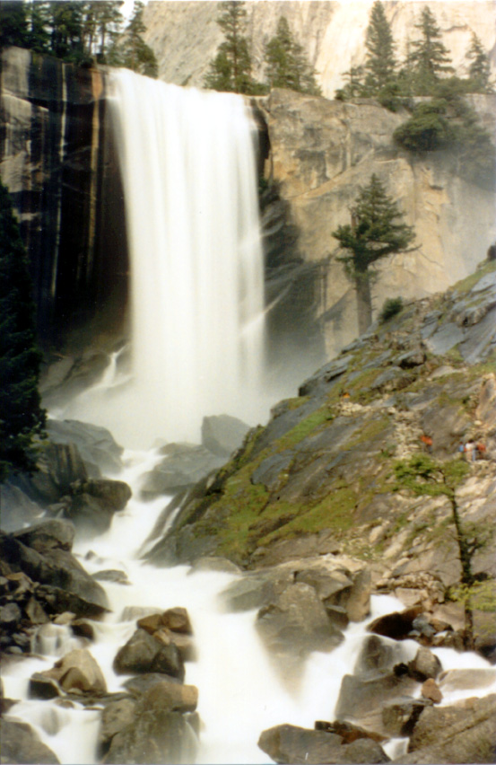
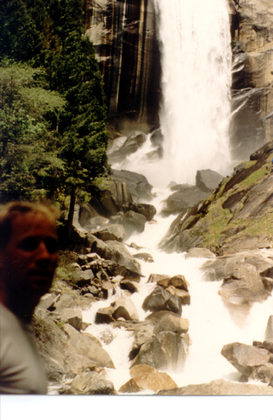
View from below Vernal Falls.
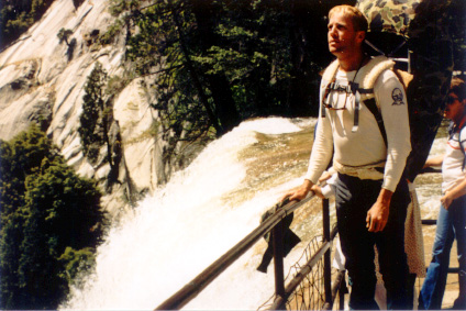
Standing at the
head of Vernal Falls on my way to the climb behind Half Dome above Nevada
Falls.
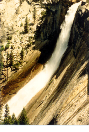
Nevada Falls from the South rim of the gorge.
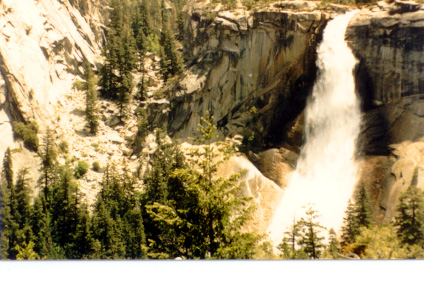
Nevada Falls from the West side of the gorge.
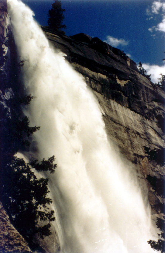
View below Nevada Falls.
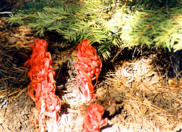
Very unusual plants found below Nevada Falls.
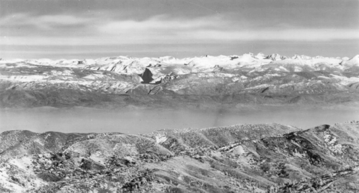
An Infrared Aerial view of Yosemite from 120 miles west.
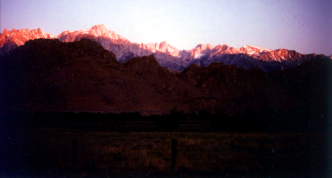
Mt Whitney at sunrise. 14,400 ft peak